The rapid development of unmanned aerial vehicles (UAVs) has reshaped multiple industries, including agriculture, surveying, construction, infrastructure inspection, and autonomous logistics. As drone applications become more advanced and data-driven, positioning accuracy has become one of the most critical technical requirements.
While standard GPS is sufficient for basic navigation, many professional UAV missions demand far greater precision. This is where RTK (Real-Time Kinematic) technology and advanced drone GPS modules play a transformative role.
Limitations of Standard GPS in Drone Applications
Conventional GPS positioning works by calculating a receiver’s location based on signals from multiple satellites. Although reliable for everyday use, its accuracy is limited by several factors:
-
Atmospheric signal delays
-
Satellite clock errors
-
Multipath signal reflections
-
Orbital prediction inaccuracies
-
Physical obstructions such as buildings or terrain
As a result, standard GPS typically provides accuracy within 1–5 meters. For consumer navigation, this is acceptable. However, for professional drone operations—such as mapping, surveying, and precision agriculture—this level of error can significantly impact results.
Even small deviations can lead to mismatched maps, inaccurate measurements, or inefficient field coverage.
What Is RTK Positioning?
RTK (Real-Time Kinematic) is an advanced satellite navigation technique designed to dramatically improve positioning accuracy.
It works using two key components:
-
Base Station – placed at a known fixed location
-
Drone (Rover Unit) – receives satellite signals in real time
The base station continuously calculates satellite errors and transmits correction data to the drone. The UAV then applies these corrections instantly.
This process reduces common GNSS errors and enables:
Centimeter-level positioning accuracy, rather than meter-level accuracy.
The Role of RTK GNSS Modules in UAV Systems
At the heart of any high-precision drone system is a GNSS positioning module capable of handling multiple satellite constellations and frequency bands.
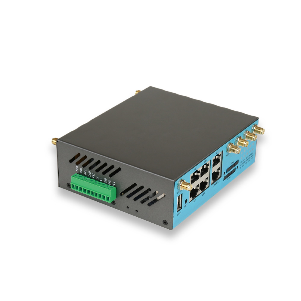
Modern solutions such as the WR928 RTK GNSS positioning and heading module are designed to support full-constellation tracking, including:
-
GPS
-
BeiDou (BDS)
-
GLONASS
-
Galileo
-
QZSS
They also support multiple frequency bands such as L1, L2, and L5, enabling stronger signal reliability and improved accuracy.
This multi-system approach significantly enhances performance in complex or challenging environments.
Why Multi-Constellation Support Matters
Drone operations rarely occur in ideal conditions. Urban environments, forests, mountains, and industrial zones can all interfere with satellite signals.
Multi-constellation GNSS support allows drones to access more satellites simultaneously, which results in:
-
More stable positioning signals
-
Faster RTK convergence times
-
Better performance in obstructed environments
-
Higher overall reliability
In short, the more satellites a system can use, the more stable and accurate the positioning becomes.
How RTK Achieves Centimeter-Level Accuracy
RTK systems combine several advanced technologies to achieve extremely precise positioning:
1. Real-Time Error Correction
Base stations continuously send correction data to eliminate satellite signal errors.
2. Dual and Multi-Frequency Tracking
Using multiple frequency bands reduces ionospheric distortion and improves signal clarity.
3. Carrier Phase Measurement
Unlike standard GPS code-based positioning, RTK uses carrier wave phase data for higher precision.
4. Advanced Positioning Algorithms
Modern GNSS chips process large datasets in real time to maintain stable accuracy.
Together, these technologies enable drones to maintain centimeter-level positioning throughout their flight missions.
Key Applications of RTK-Enabled Drone GPS Modules
Surveying and Mapping
RTK drones significantly improve efficiency in geospatial data collection.
Common applications include:
-
Topographic mapping
-
Construction site surveys
-
Land development planning
-
Corridor and infrastructure mapping
What once required days of manual surveying can now be completed in a fraction of the time.
Precision Agriculture
In modern agriculture, accuracy directly impacts productivity.
RTK-enabled drones help farmers:
-
Monitor crop conditions
-
Create accurate field maps
-
Optimize spraying patterns
-
Reduce overlap and resource waste
This leads to better yields and lower operational costs.
Infrastructure Inspection
Drones are widely used for inspecting critical infrastructure such as:
-
Power lines
-
Bridges
-
Railways
-
Pipelines
RTK positioning ensures:
-
Repeatable flight paths
-
Precise defect localization
-
High-quality 3D modeling
Autonomous Robotics and Industrial Systems
Beyond UAVs, RTK GNSS technology is also widely used in:
-
Autonomous ground vehicles
-
Robotics navigation systems
-
Smart logistics platforms
Accurate positioning is essential for safe and efficient autonomous operation.
Why Positioning Accuracy Matters for Flight Safety
High-precision GNSS systems are not just about performance—they also improve safety.
Accurate positioning enables drones to:
-
Maintain stable autonomous flight paths
-
Execute precise waypoint missions
-
Avoid restricted zones
-
Improve obstacle avoidance behavior
-
Reduce navigation errors
In industrial applications, this directly reduces operational risk.
Integrated Positioning and Heading Capabilities
Advanced GNSS modules such as the WR928 also provide integrated heading information.
This is especially important for larger UAVs and industrial platforms, where directional accuracy improves:
-
Flight stability
-
Route planning
-
Autonomous navigation performance
-
Multi-drone coordination
Combining positioning and heading in one module simplifies system design while improving overall accuracy.
Key Requirements for Modern GNSS Modules
As UAV applications become more complex, manufacturers increasingly demand GNSS solutions that offer:
-
Multi-constellation compatibility
-
Multi-frequency tracking
-
Fast RTK convergence
-
Reliable heading output
-
Compact hardware design
-
Low power consumption
These features ensure stable performance in demanding industrial environments.
The Future of RTK Drone Navigation
As UAV technology continues to evolve, RTK GNSS modules will play an even more important role in enabling automation and precision.
Future developments are likely to focus on:
-
Faster and more stable RTK initialization
-
Improved performance in urban environments
-
Smarter AI-assisted positioning algorithms
-
Greater integration with autonomous systems
-
Enhanced anti-interference capabilities
The demand for centimeter-level accuracy will only continue to grow as industries adopt more autonomous workflows.
Conclusion
RTK technology has fundamentally changed the capabilities of modern drone navigation systems. By combining real-time correction data, multi-constellation satellite tracking, and advanced signal processing, RTK GNSS modules deliver centimeter-level accuracy that is essential for professional UAV applications.
From surveying and agriculture to infrastructure inspection and robotics, high-performance GNSS solutions are becoming a core component of next-generation drone systems.
As UAV applications expand across industries, RTK-enabled positioning technology will remain a key driver of precision, efficiency, and operational safety.

www.wirentec.com
Wiren Technology Co., Ltd.